


Plenty of people live in Flagstaff because the Grand Canyon is close. Fewer realize that one of the two main routes to the South Rim runs right past the base of Snowbowl Road.
How far is the Grand Canyon from Flagstaff?
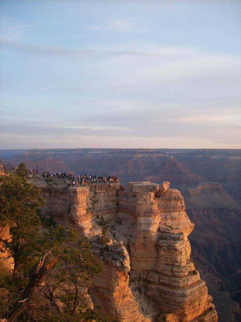
The National Park Service puts the South Rim about 80 miles northwest of Flagstaff via U.S. Route 180, and notes that the South Rim is open all year (National Park Service). Travel guides typically estimate about an hour and a half each way from town (Slot Canyon Guide).
From the base of Snowbowl Road, about seven miles of that route is already behind you (Flagstaff.com). That leaves roughly 73 miles, or about an hour and twenty minutes in good conditions. Times vary with weather, traffic and the exact homesite.
The Highway 180 route
From downtown Flagstaff, Highway 180 climbs northwest past the base of Snowbowl Road and continues past Arizona Nordic Village at mile marker 232 (Coconino National Forest). North of the Peaks, it joins State Route 64, which continues to the park's South Entrance.
The other common route starts in Williams, about 60 miles south of the South Rim via State Route 64 from Interstate 40 (National Park Service). For anyone living on the northwest side of Flagstaff, Highway 180 is usually the more direct choice.
What that means day to day
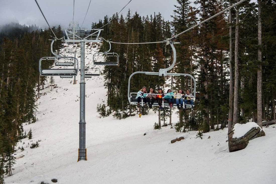
Living on the road to the canyon changes how often you go. A sunrise at the rim no longer needs a hotel night. Visiting family can see the canyon in a morning and be back for dinner on the patio. And in winter, the same highway brings you home to a mountain that is still snowy at the top.
Flagstaff is served by commercial airlines, along with Phoenix and Las Vegas (National Park Service), which helps for guests flying in.
Snowbowl Summit House
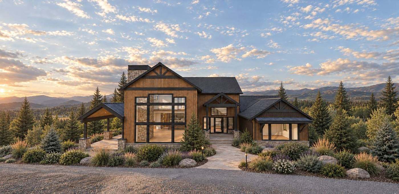
Snowbowl Summit House sits on five secluded acres at the base of Arizona Snowbowl, between downtown Flagstaff and the Highway 180 drive to the canyon. Explore the area map or ask Justin about the home and its location.